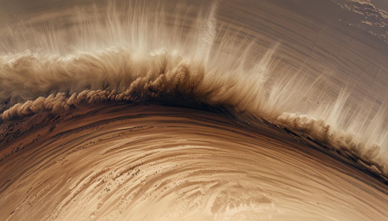
A formidable dust storm swept through parts of southern New Mexico, southwestern Texas, and northern Mexico last week, captivating scientists and meteorologists with its scale and intensity. This event was captured in striking detail by the National Oceanic and Atmospheric Administration's (NOAA) GOES-18 satellite, providing an unprecedented high-speed visual of the storm as it rolled across the terrain like a colossal ocean wave.
The dramatic footage rapidly circulated on social media and was described by Colorado-based researcher Dakota Smith as “an all-timer,” underscoring the remarkable size and speed of the phenomenon. According to the Cooperative Institute for Meteorological Satellite Studies (CIMSS) Satellite Blog, the dust storm was precipitated by strong winds behind a cold front, which lifted enormous quantities of dust and soil into the atmosphere. This created a fast-moving wall of particulate matter that dramatically affected the landscape.
Wind speeds in affected areas were significant, with gusts reaching 50 knots (58 mph) in El Paso, Texas. Visibility was severely reduced in Carlsbad, New Mexico, where dust limited sight to just a quarter of a mile. In northern Mexico, the storm's leading edge was observed moving at speeds up to 35 knots. This kind of dust storm, often called a "haboob," poses serious challenges including impaired visibility and respiratory hazards, which are especially critical for drivers and residents in impacted regions.
The stunning imagery was made possible by the advanced technology onboard NOAA's GOES-18 satellite, launched in 2022 from Cape Canaveral, Florida. This satellite covers an expansive view extending from the US West Coast through Mexico and Central America, and over the Pacific Ocean. It continuously sends data every 30 seconds to NOAA’s Satellite Operations Facility in Maryland, allowing meteorologists to monitor weather patterns with remarkable precision and timeliness.
GOES-18’s real-time, high-resolution imaging capabilities represent a significant advancement in meteorological observation. Beyond tracking dust storms, the satellite system plays a vital role in monitoring thunderstorms, hurricanes, fog, wildfires, and volcanic eruptions, thereby enhancing preparedness and safety.
Platforms such as The Weather Channel and AccuWeather regularly feature imagery from GOES satellites in their forecasts, demonstrating its crucial role in public weather education and hazard awareness. The recent haboob event, vividly captured by GOES-18, highlights the system’s capacity to reveal the dramatic and dynamic nature of extreme weather events, offering both meteorologists and communities valuable time to respond.
Source: Noah Wire Services
