As urban environments become increasingly complex and unpredictable, a significant advancement in understanding urban population behaviour is emerging from the U.K. The U.S. Army Research Office has funded a groundbreaking AI-powered tool developed by a team at Manchester Metropolitan University, which has the potential to map and forecast how entire cities react in real-time to crises such as pandemics and civil unrest. This pioneering work stands at the intersection of cutting-edge technology and vital urban research.
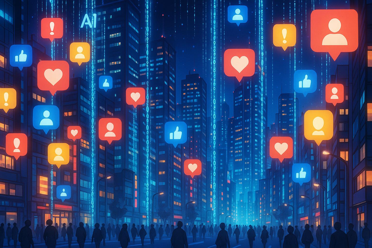
The new AI system employs machine learning techniques combined with geolocated social media data to unveil how urban populations adapt during various crises. Tested in Manchester, the tool utilises advanced clustering methods and topic modelling to identify, label, and visualise shifting patterns of urban activity. Its implications for real-time situational awareness and decision-making in urban planning could be profound, particularly in crises when responsiveness is critical.
Research findings, scheduled for publication in the July 2025 journal Cities, reveal that urban populations respond dynamically to both internal pressures—such as policy changes—and external shocks like sudden emergencies. By conceptualising cities as Complex Adaptive Systems (CAS), where individual actions interact with the built environment, the AI model provides powerful insights into urban dynamics that have historically eluded more conventional planning tools.
The researchers noted, “The results reveal how urban characteristics, urban form, and social behaviours influence activity levels and patterns, demonstrating fluctuations that highlight different degrees of adaptability.” This emphasis on adaptability is crucial; it suggests that cities are not merely static entities but living organisms constantly reshaping themselves in response to various stimuli.
An innovative aspect of the framework involves the fusion of spatiotemporal clustering and semantic topic modelling methodologies. By applying these techniques to millions of social media posts over an extended period, the researchers were able to uncover how urban activity fluctuates around natural rhythms of city life and in the wake of disturbances.
For instance, during the COVID-19 lockdowns, the model depicted striking shifts in Manchester’s population behaviours. Traditional nightlife and retail hubs saw a dramatic decrease in foot traffic as residents sought refuge in parks and outdoor venues. Interestingly, digital engagement soared during this period, highlighting the adaptability of the population as it recalibrated its behaviours amidst physical mobility restrictions.
The AI tool filters geotagged social media content to cluster posts into discernible activity patterns using density-based algorithms. The analysis categorises tweets into various themes, providing a rich tapestry of urban behaviours that changes hourly and can be dissected by neighbourhood. Despite the challenge posed by a relatively small number of geotagged posts, researchers found sufficient spatial and temporal granularity to extrapolate significant urban patterns.
The technology’s potential applications extend beyond academic interest. While the research prioritises urban planning applications, its origins in military funding raise significant implications for defence and national security. The ability to monitor population dynamics in real time could offer defence agencies invaluable insights during civil unrest or natural disasters, allowing officials to identify hotspots of concern and intervene before situations escalate.
Furthermore, the continuous stream of open-source data from social media presents an unprecedented opportunity to create digital twins of urban areas—virtual replicas that simulate real-world dynamics in near real-time. This capability allows for sophisticated scenario testing, including emergency evacuations and infrastructure failures, thereby enhancing urban resilience and response strategies for unforeseen challenges.
Aligning with the U.S. Army’s growing interest in artificial intelligence, these predictive models of civilian behaviour could become crucial assets amid increasing operational complexity in multi-domain operations.
However, while the study opens new avenues for urban analysis, it is crucial to address inherent biases in social media data, which tends to overrepresent younger, more tech-savvy populations. Moreover, ethical concerns surrounding privacy and surveillance arise, even though the system relies solely on publicly accessible data. The authors express the need for ongoing scrutiny and oversight to ensure responsible use of such technology.
In summary, this innovative framework not only advances our understanding of cities as hybrid urban-digital spaces but also serves as a springboard for future research. By integrating additional location-based data sources and demographic insights, the potential for richer, more detailed analyses of urban behaviours is vast. As the researchers concluded, “The advancement of this framework could inform future research, but also be used in the context of urban planning, design, and policy by providing actionable insights for adaptive and resilient cities.”
Reference Map
- Lead Article
- Related Article on adaptive reinforcement learning models
- Summary on microblog data detection systems
- Information on deep learning-based crowd flow forecasting
- Overview of high-risk neighborhood detection frameworks
- Insights into the development of AI tools for urban behaviour forecasting
- Reports on the military-funded AI tool for real-time urban behaviour analysis
Source: Noah Wire Services