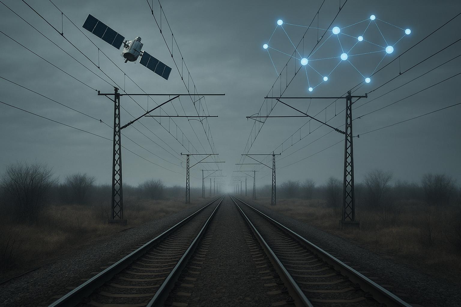
A promising new innovation combining satellite imagery and artificial intelligence (AI) promises to transform the planning and cost efficiency of rail electrification projects in the UK. Developed by rail electrification specialist Furrer+Frey, the Electrification Benefits Optimisation Tool (Ebot) uses AI to analyse railway line data and generate thousands of possible electrification design options, each evaluated for cost and carbon emissions. Backed by funding from the UK Space Agency (UKSA) and in partnership with Airbus Defence and Space, the tool is set to integrate earth observation satellite data to further enhance its capabilities.
Noel Dolphin, Furrer+Frey’s head of UK projects, explained to New Civil Engineer that the goal is to dramatically accelerate project planning while reducing costs, making rail electrification a more attractive investment. The UK currently lags behind other European nations in rail electrification, a sector historically marked by boom-and-bust cycles influenced by political will. Recent halts in key projects such as the Midland Main Line electrification underscore a decline in political prioritisation, largely due to perceived high upfront costs and slow returns, a view echoed by former Network Rail CEO Andrew Haines and rail minister Lord Hendy.
Ebot has been under development for several years. It can devise electrification schemes by modelling every combination of variables including systems type, structural spacing, electrical tension, and around 50 other factors, using real construction cost data from Network Rail. The tool can run thousands of design permutations rapidly, ranking these options by cost and embodied carbon to help decision-makers identify the most efficient solution. In one case, Network Rail tasked Furrer+Frey with benchmarking an existing electrified line using Ebot. Findings indicated the line was not optimally designed, revealing opportunities for significant cost savings by tweaking design rules—such as reducing foundation numbers, which yields savings in materials and allows projects to finish sooner.
Traditionally, Ebot has required extensive manual input of data sourced from record drawings, surveys, or Lidar, a time-consuming process taking weeks. Integrating satellite imagery from Airbus will automate data collection, rapidly identifying key route features like level crossings, underbridges, and weak embankments. Satellite technology also offers dynamic insights; multispectral imaging can highlight vegetation growth—critical as trees must not encroach on live wires—and repeated overflights enable monitoring of embankment stability, identifying potential problem areas requiring special foundation designs. This geospatial intelligence allows designs to be visualised directly over actual railway landscapes, improving accuracy and planning responsiveness.
The project, supported by UKSA funding as part of their Unlocking Space for Business programme, aims to complete the satellite-AI integration by March 2026, with trials on selected unelectrified routes underway. Ebot’s developers are confident of success, investing substantially alongside grant funding. While there are natural concerns about AI replacing traditional engineering roles, Dolphin emphasises the technology is designed to free engineers from repetitive tasks, enabling them to concentrate on complex, high-value design challenges like intricate junctions or heritage site adaptations. The project is also creating new roles around AI-supported design and decision-making.
This innovation forms part of a broader push to modernise and decarbonise rail infrastructure. In parallel, Furrer+Frey has introduced a lightweight composite electrification cantilever, weighing just 40% of traditional steel versions, potentially reducing manufacturing and installation costs, and improving sustainability. This development, demonstrated at the Global Centre of Rail Excellence in South Wales, complements AI-driven design efforts to make electrification projects more financially viable. The company has also benefited from UK government support, including a £1 million funding allocation aimed at cutting electrification costs and emissions.
More widely, satellite technology is gaining traction across transport infrastructure sectors. UK Power Networks and Boston Consulting Group’s Project Satelline uses satellite imagery and AI to optimise vegetation management around overhead power lines, enhancing clearance accuracy and potentially reducing outages by over 25%. Airbus Defence and Space has also provided land use and change data to Network Rail through Project LUCI, enabling better risk management including flood prevention strategies near rail corridors. These initiatives are part of a £1.5 million UK Space Agency investment in six projects using satellite and AI technologies to combat climate change and revolutionise transport networks under their Unlocking Space for Business programme.
Ultimately, Furrer+Frey’s Ebot tool, augmented by satellite data, aims to fundamentally reduce both the time and cost of rail electrification scheme development, particularly in the design phase. According to Dolphin, accelerating the optioneering and outline design process by even a year could yield substantial savings by limiting prolonged project team efforts. Faster, more cost-effective electrification is seen as central to expanding the UK’s electrified rail network, reducing carbon emissions, and supporting the nation’s net-zero goals, while stimulating greater industry investment and job creation.
📌 Reference Map:
- Paragraph 1 – [1], [4], [5]
- Paragraph 2 – [1], [6]
- Paragraph 3 – [1]
- Paragraph 4 – [1], [5]
- Paragraph 5 – [1], [4]
- Paragraph 6 – [1]
- Paragraph 7 – [1], [2], [6]
- Paragraph 8 – [3], [5], [7]
- Paragraph 9 – [1], [6]
Source: Noah Wire Services